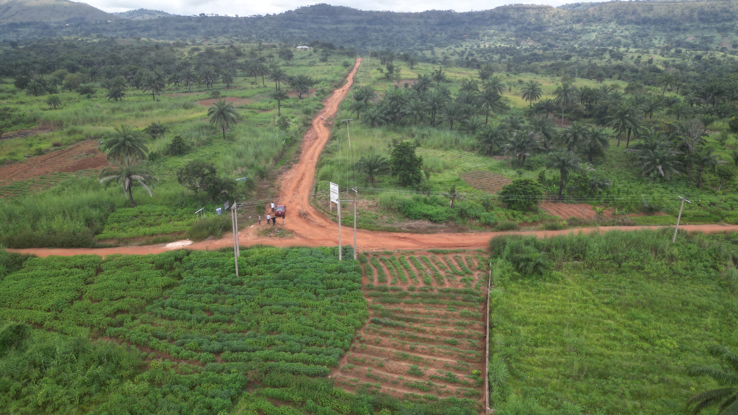
Ugweme, which translates to “Hill has done well” in English, is a sizable community situated within the Awgu Local Government Area of Enugu State, Nigeria. This community is strategically positioned atop hilly terrain, a geographical feature that is thought to have shielded its initial inhabitants from invasions and incursions by external forces. On the global map, Ugweme can be precisely located at Latitude 6°01’02.5″N and Longitude 7°26’21.0″E.
The town’s name, “Hill has done well,” not only encapsulates its topographical characteristics but also suggests a positive historical narrative, possibly highlighting the town’s resilience and prosperity. The hilly terrain, beyond its scenic aspects, played a crucial role in providing a natural defense mechanism, safeguarding the early settlers from potential threats and ensuring their security.
Ugweme’s placement on the world map at Latitude 6°01’02.5″N and Longitude 7°26’21.0″E provides specific coordinates that pinpoint its exact location on the Earth’s surface. This geographical precision aids in understanding the town’s global context and facilitates navigation or exploration.